Not so long ago, I participated in a survey by an American specialist in landscape visualization. The survey focussed on the inclusion of visual utility infrastructure as it is built through the landscape.
At the close of the survey a question was asked for each to identify the ideal image of landscape visualization. Well, it would have been easy to say–landscape without any infrastructure visual intrusion would have been my preference.
Could not do that. But I did add that since humans had been living with and using the landscape as long as written history, the ideal landscape image should include successful use, accomodation and management of the landscape.
Just recently, I found a photogenic example that expressed my ideal. The images follow below.

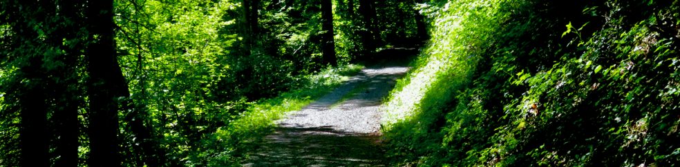
This foreground field, occurring at the confluence of three mountain valleys and two mountain lakes, was for decades a central air field for national self-defence. When that defence was transferred from props to jets, the airfield became community pasture and recreation for 25,000 local people. The red circle, enlarged in the image below, shows how well major electrical infrastructure has been brought through the adjacent forest.

This is an enlargement of the red circle shown in the above image. I should note that this landscape, incredibly photogenic, is regularly photographed by me in all seasons. And despite the well camouflaged electrical power line infrastructure, I always try to frame my photos without any visible infrastructure. We put up with that infrastructure to ameliorate climate, daylight and communications. That is our way of life.